

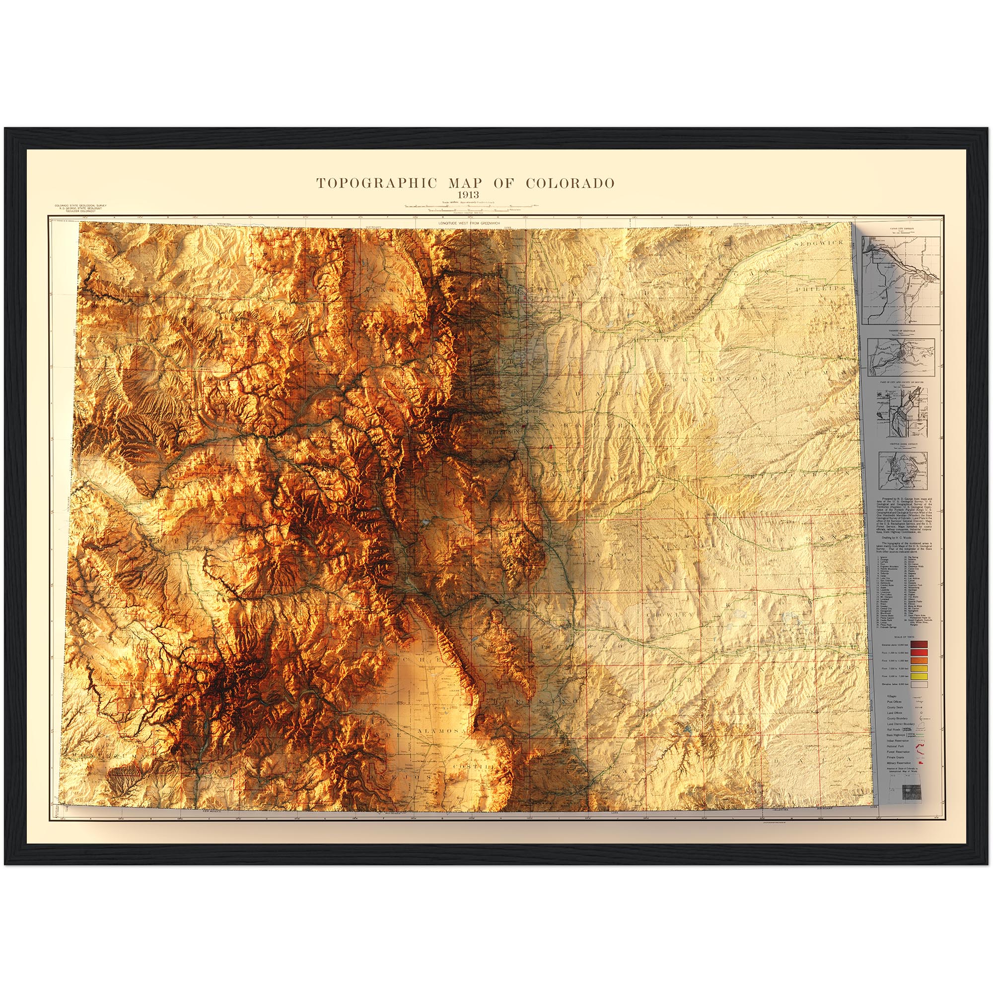
Colorado Geologic Map 1935
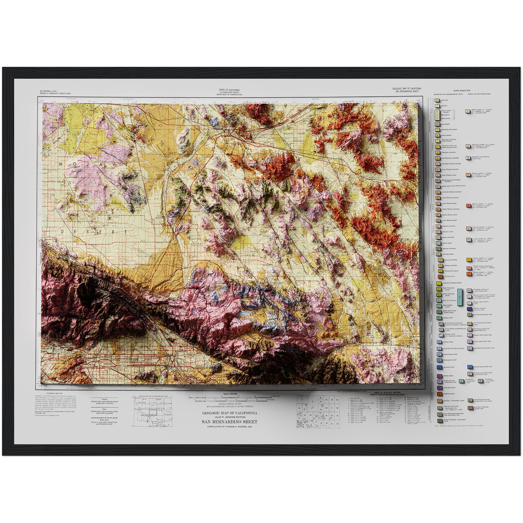
Shaded relief map – flat print (not a 3D raised map)
Product details
Product details
About This Map
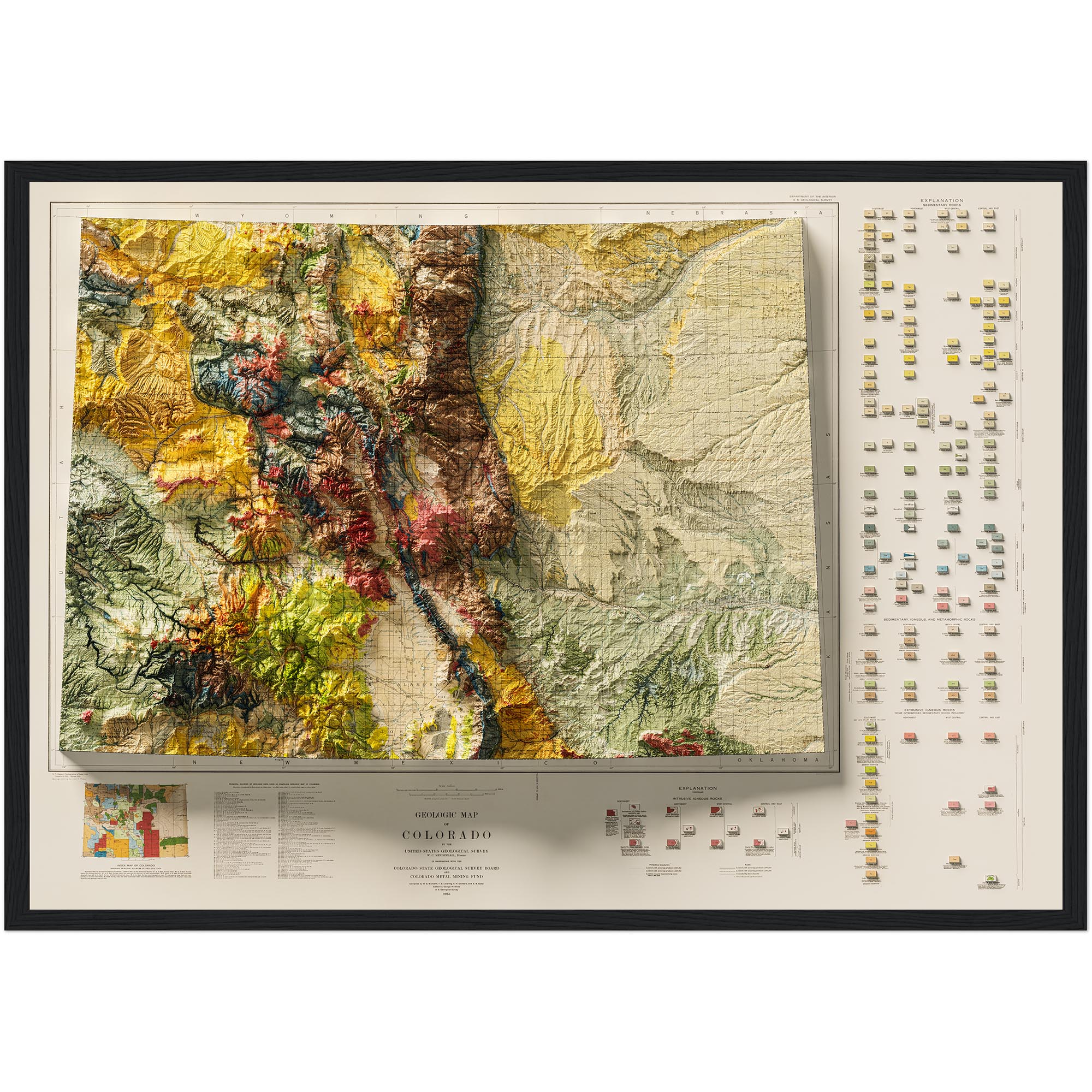
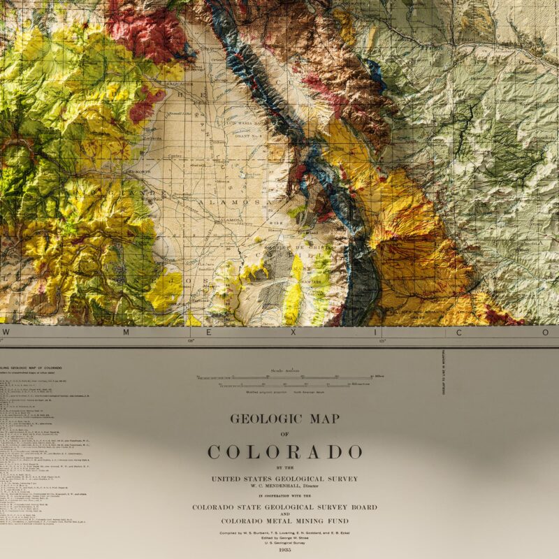
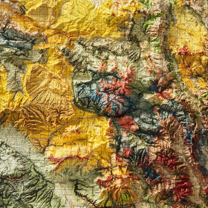
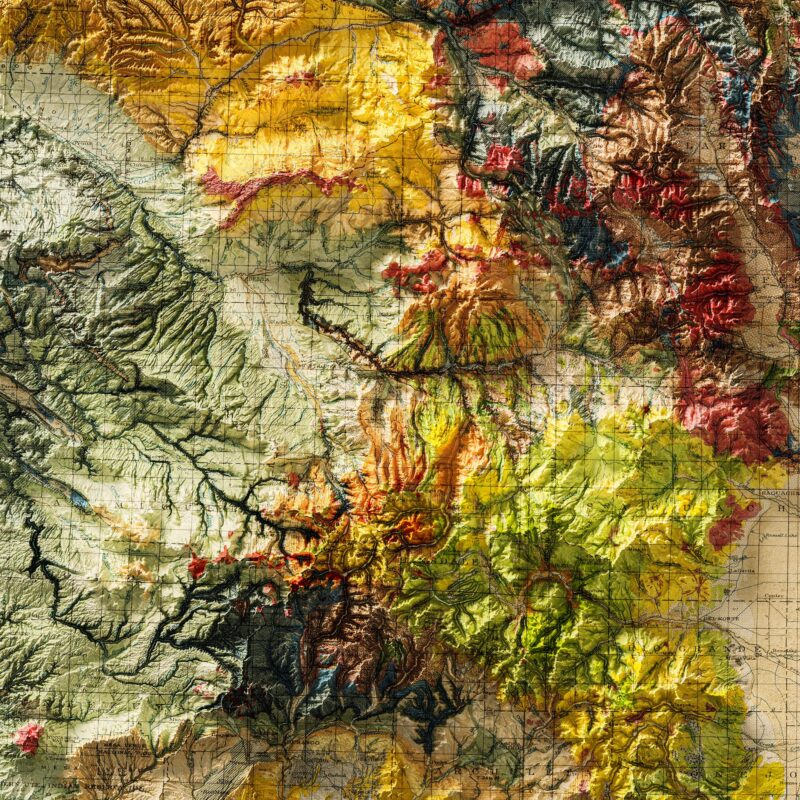
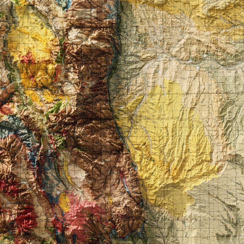
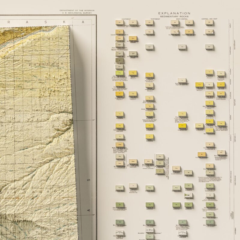
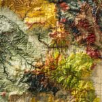
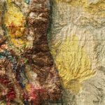
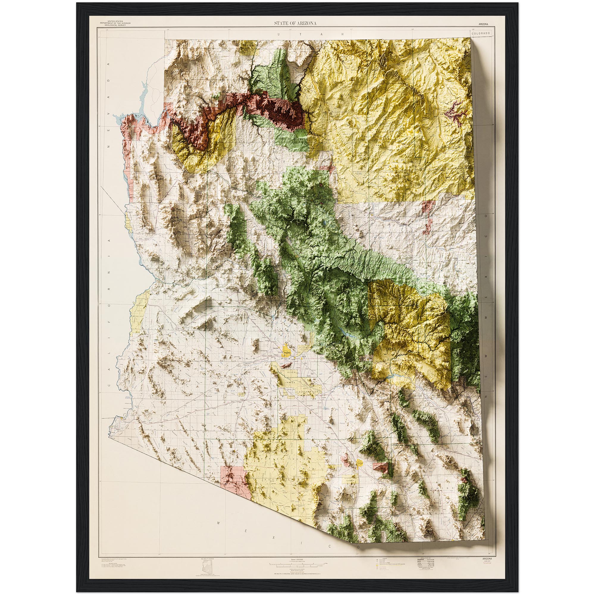
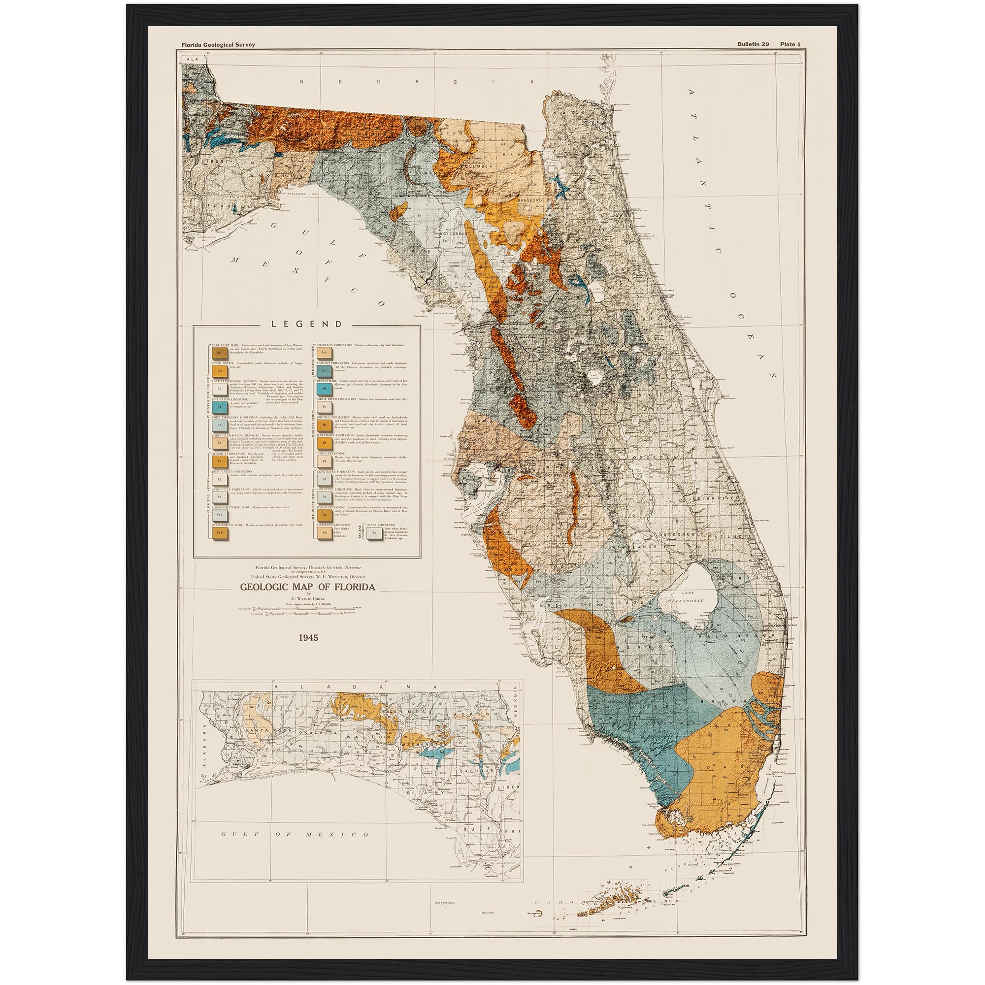
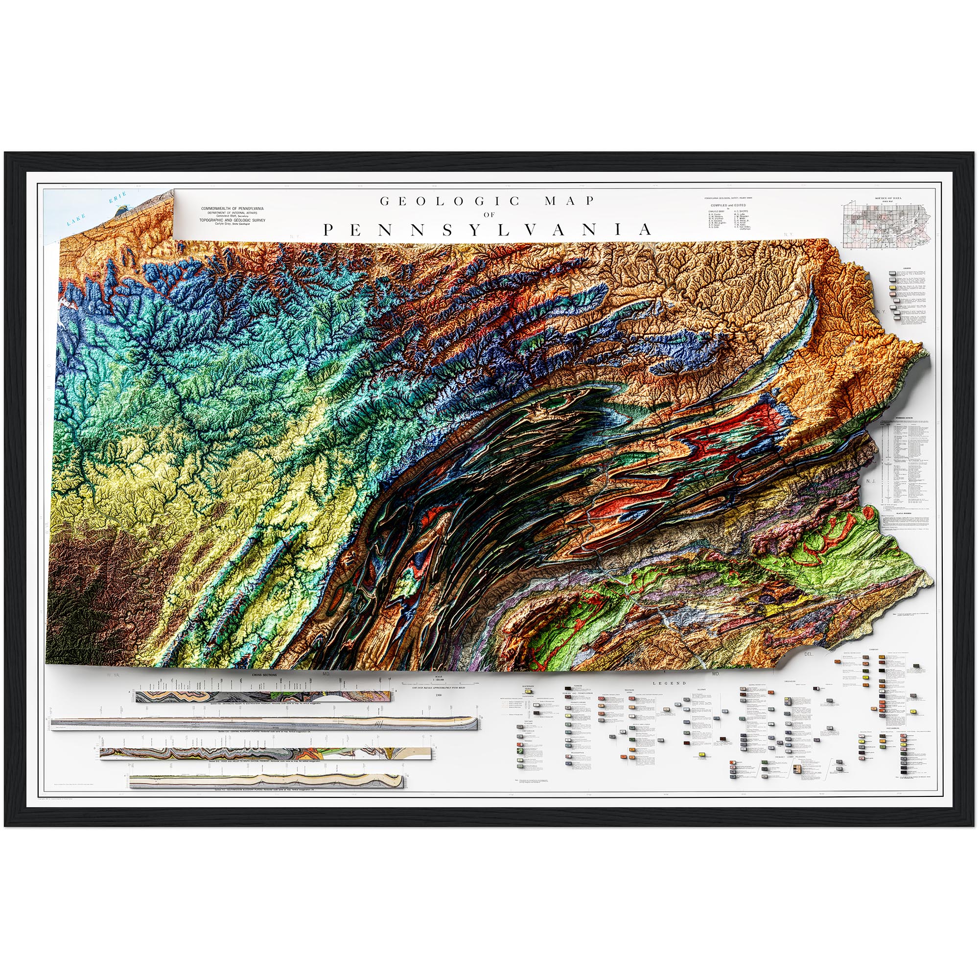
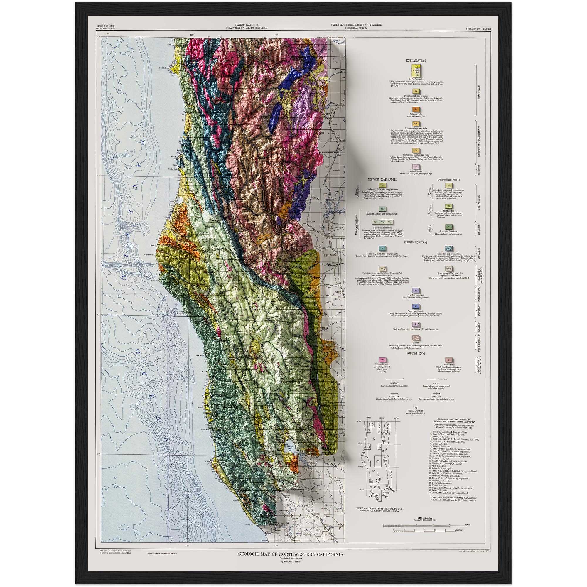
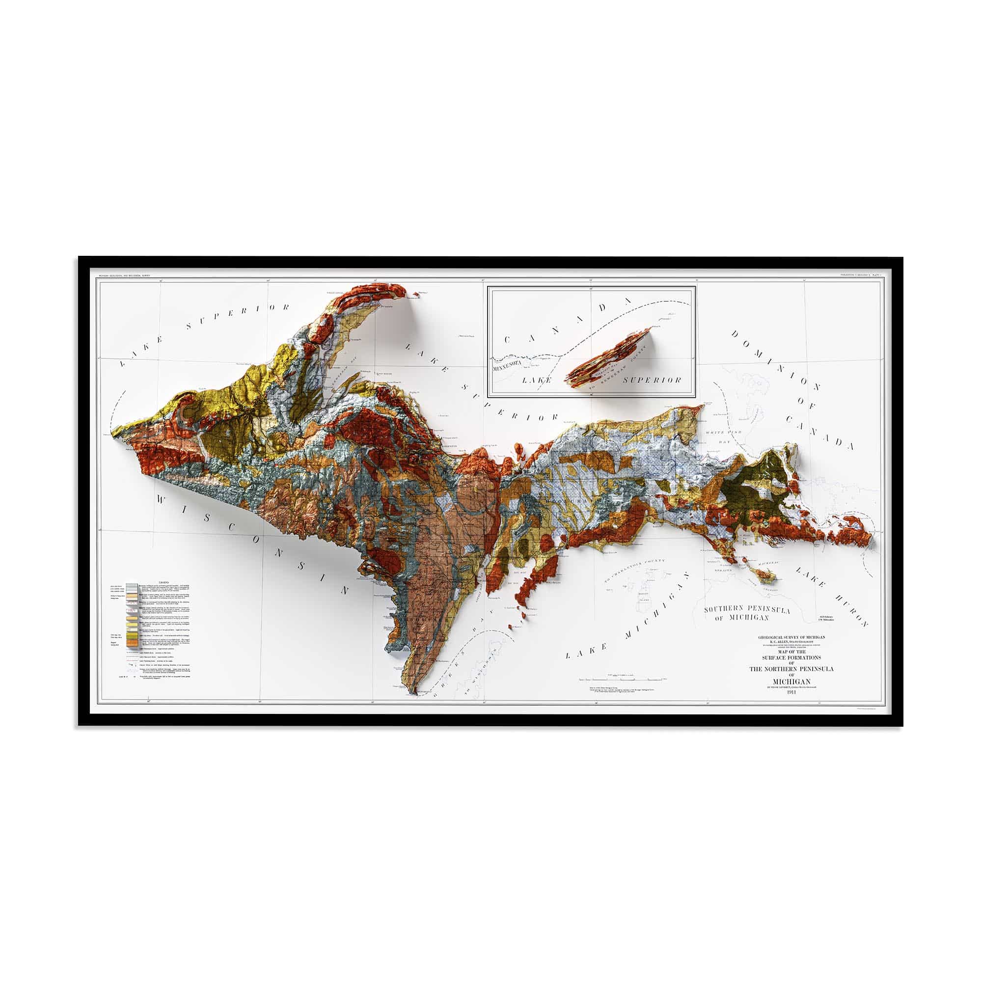
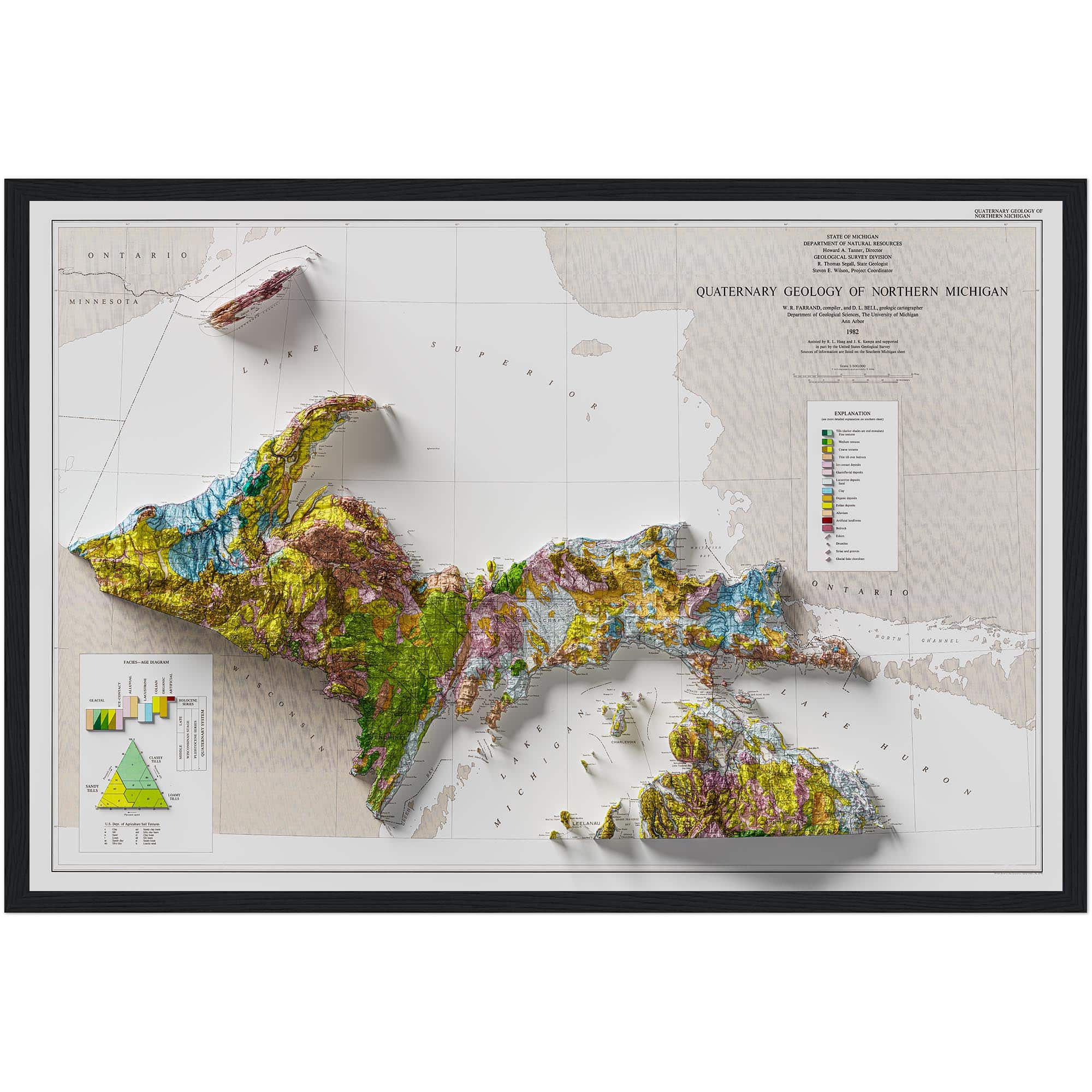
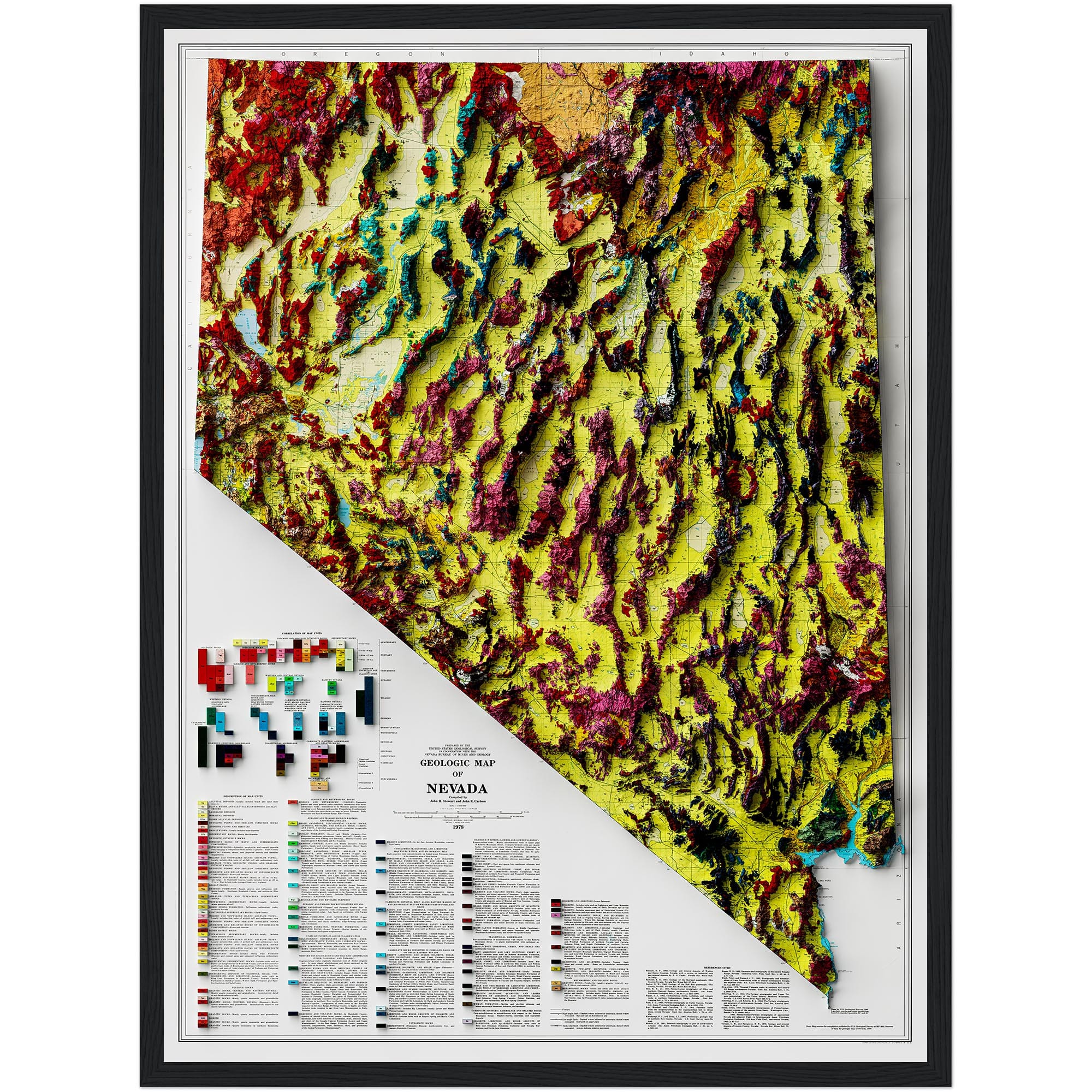
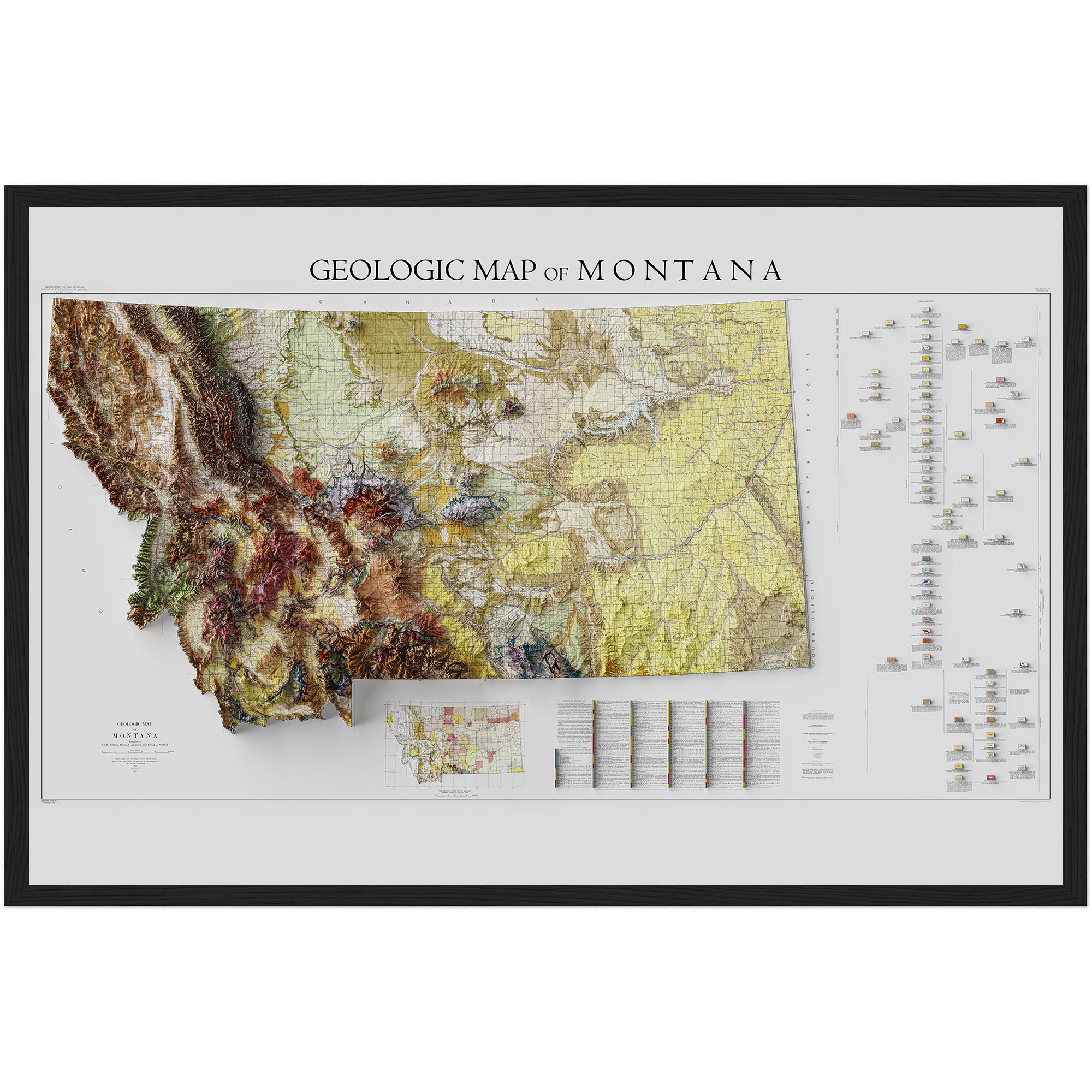
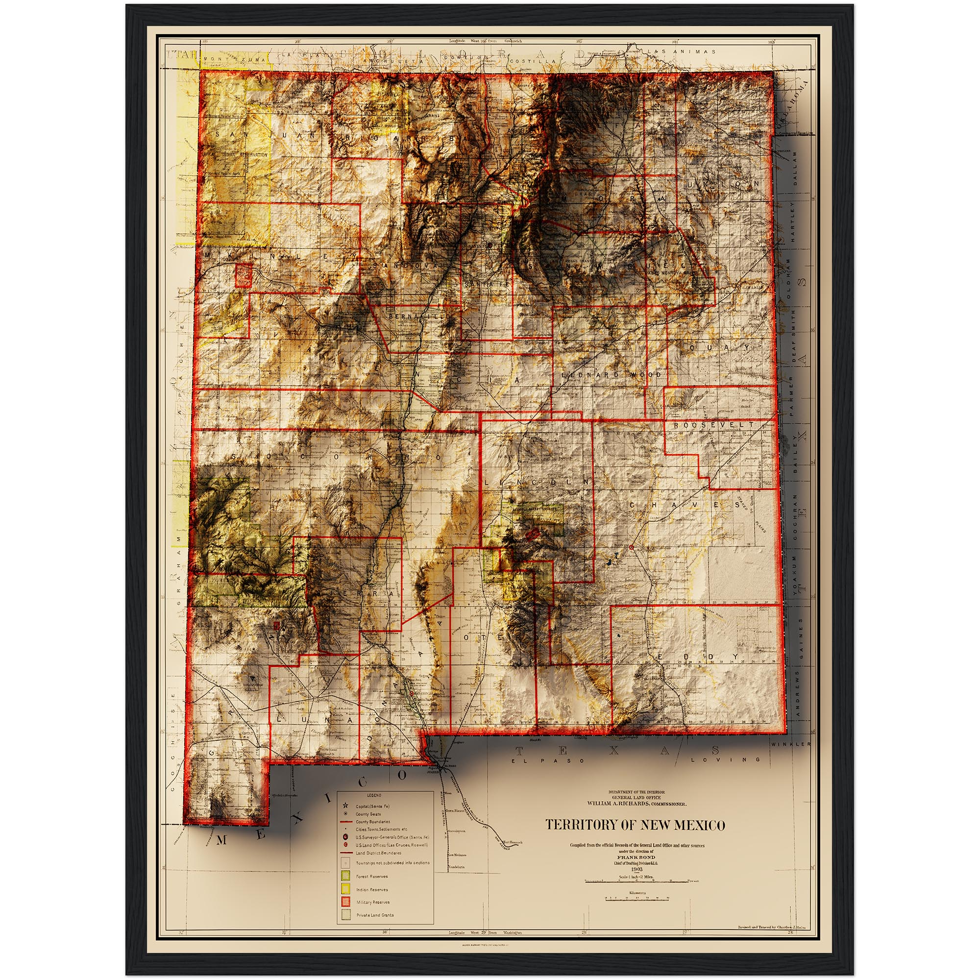
This shaded relief map of Colorado captures the state’s dramatic geological features in striking detail. Designed using historical cartography from 1935 and enhanced with modern elevation shading, it creates the illusion of depth while remaining a flat, two-dimensional print.
From the towering Rocky Mountains to the sweeping plateaus and valleys, this fine art print reveals Colorado’s terrain in a beautifully visual way. The map blends scientific accuracy with vintage charm, making it both a decorative and conversation-worthy piece.
Printed using premium archival inks on high-quality paper, this artwork is built to last and designed to inspire. Whether you’re a geology enthusiast, a history lover, or simply captivated by the beauty of the American West, this map is a timeless addition to your home or workspace.
Print Options
Print Options
FAQ
FAQ
Are these actually 3D objects?
No. The object you purchase comes as a high-quality Photographic or Giclée print. They combine 3-dimensional data with paper maps to create an image that looks like it pops off the page, but alas, it is 2D.
How is a shaded relief map made?
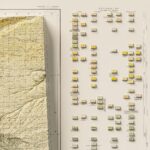
Making a shaded relief map from an old vintage map involves restoration and color correction. Then, the shading process is applied to make the relief appear to jump off the page.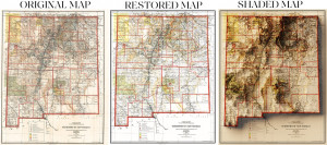
Is every detail on the map legible?
Not always. Please note that due to the 3D shading, it is possible that not all text on the maps is legible. This varies by map and print size.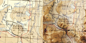
What is a Giclée print?
Giclée prints are archival pigment-based artist’s prints. These prints come on a smooth neutral white matte paper (similar to a smooth watercolour paper) and are great for hanging without a frame like a poster.
Can I request a custom map?
Due to extremely high demand, we are no longer taking custom orders. We apologize for the inconvenience! If you have recommendations for future map designs, feel free to message us.
Shipping and Returns
Shipping and Returns
About the brand
Geoartmaps

Rating & Review
There are no reviews yet.